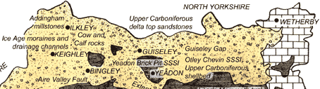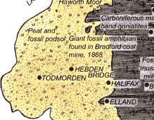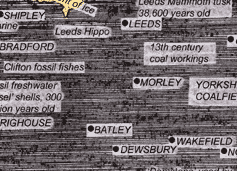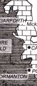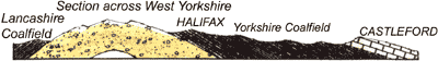
WHEREVER YOU ARE, there's story in the rocks beneath your
feet and, as this map that I've been working on today shows, that's certainly
true of West Yorkshire. The towns and cities developed because of the
availability of coal, gritstone and limestone, used in industry, building
and agriculture. We've tried to pick out some of the more surprising
examples for this map which we're revamping to go in the new leaflet
for the West Yorkshire
Geology Trust.
You don't need to head for the hills to appreciate the
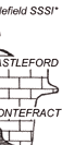
county's rocky heritage; I'm leading a walk around the centre of Wakefield
on Sunday morning (10 a.m., meet outside the museum in Wood Street) to
look at the building stones of the town.