Richard Bell's Wild West Yorkshire nature diary
From the Railway to the Ship
‹previous
| this month | home
page | e-mail me | next›
Friday, 26th January, 2007
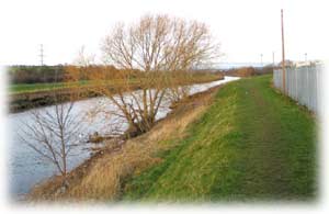 IT’S
ONLY BY poring over the map that I spotted it, but I discovered a 20 minute
walk along a footpath that I’d never been on before, just five minutes
from home on the other side of the river. I'd seen a footpath sign at one end
but always assumed that it went only fifty yards before ending up by an old
mill.
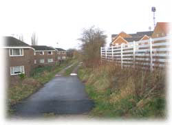 I'm
tagging this dog-leg of a walk onto the last of my Walks Around Horbury.
You start by walking down a lane behind Baring-Gould Close,
Horbury Bridge, a new housing development (so many walks around
here start by a new housing development! I love the expression used by Bellway
about a paddock they've made a mess of during building work: “If the site
does not benefit from a positive planning application we would return it to
its previous state.” Hmm).
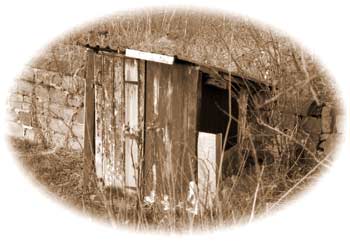 |
This little hut fascinates
me: was it built as a dog kennel?
 You
follow the track alongside embankment of the Wakefield/Huddersfield
railway (wouldn’t it be useful to have a station here;
we lost ours in the 1960s). You
follow the track alongside embankment of the Wakefield/Huddersfield
railway (wouldn’t it be useful to have a station here;
we lost ours in the 1960s).
|
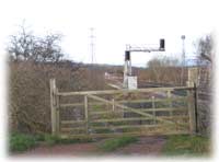
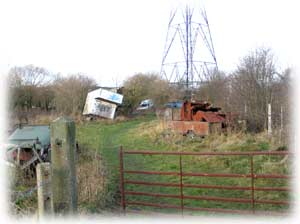
The official footpath as marked on the
Ordnance Survey map is blocked but it seems that walkers now go through
this gate near a pylon. |
 |
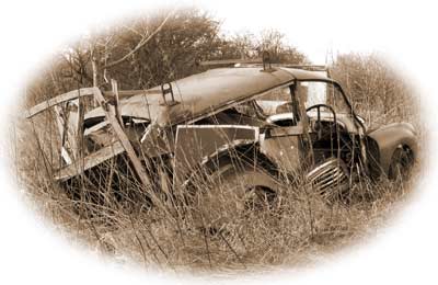 |
The remains of a Morris Traveller; this is the car I
would have liked when I was a student; ideal for setting off on field
trips.
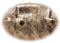 ‘A
half-timbered car!’ as Dame Edna Everidge once
described it on a tour of Stratford-on-Avon. ‘A
half-timbered car!’ as Dame Edna Everidge once
described it on a tour of Stratford-on-Avon.
|
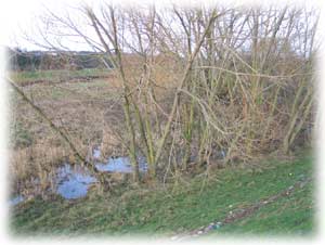 You soon come to a flood embankment. The river here was straightened in the
early 1960s to make way for Healey Mills Marshalling Yards,
once the biggest in Europe. Shame they couldn't fit a passenger platform into
their grand design.
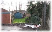 Today
the footpath goes behind this Nissen hut (far left) and
comes out at the Ship Inn but the map still shows it going
in front of the cottages on The Island; this was a towpath
in Victorian times but the channel from the river was filled in many years ago.
Footpaths have long memories.
‹previous
| this month | home
page | e-mail me | next›
 IT’S
ONLY BY poring over the map that I spotted it, but I discovered a 20 minute
walk along a footpath that I’d never been on before, just five minutes
from home on the other side of the river. I'd seen a footpath sign at one end
but always assumed that it went only fifty yards before ending up by an old
mill.
 I'm
tagging this dog-leg of a walk onto the last of my Walks Around Horbury.
 You
follow the track alongside embankment of the Wakefield/Huddersfield
railway (wouldn’t it be useful to have a station here;
we lost ours in the 1960s).

 ‘A
half-timbered car!’ as Dame Edna Everidge once
described it on a tour of Stratford-on-Avon.
 You soon come to a flood embankment. The river here was straightened in the
early 1960s to make way for Healey Mills Marshalling Yards,
once the biggest in Europe. Shame they couldn't fit a passenger platform into
their grand design.
 Today
the footpath goes behind this Nissen hut (far left) and
comes out at the Ship Inn but the map still shows it going
in front of the cottages on The Island; this was a towpath
in Victorian times but the channel from the river was filled in many years ago.